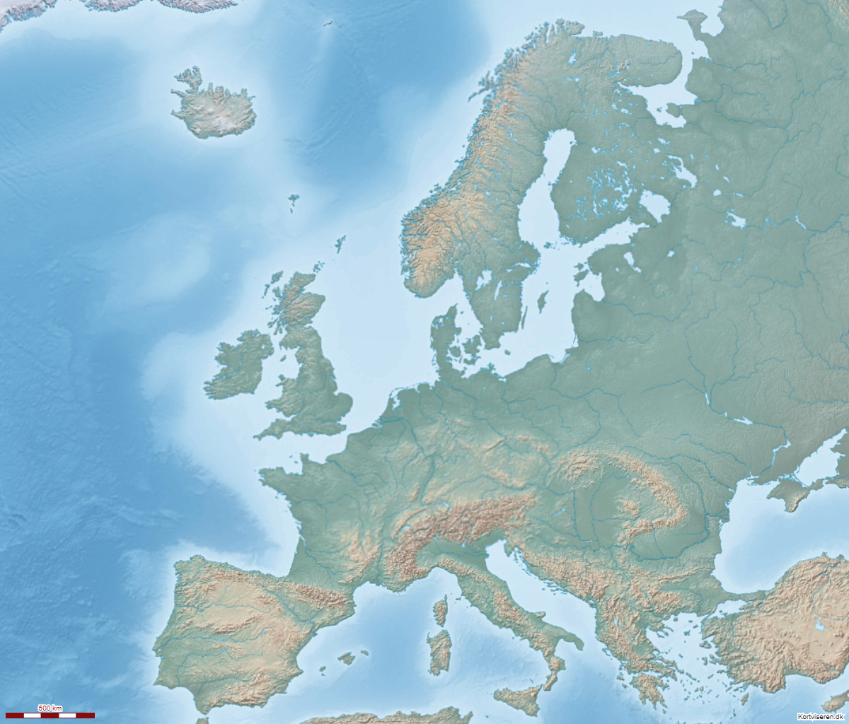
Natural Earth
Et dekorativt tekstfrit topografisk kort med skyggeangivelse af højde på land og under vand. Velegnet til illustration af land- og havområder. Lav opløsning
Natural Earth
id: natural_earth
kilde: Mapbox
format: WMS
Server: https://api.mapbox.com/v4/mapbox.natural-earth-hypso-bathy/{z}/{x}/{y}.png?access_token=[access_token]
tjeneste: natural-earth-hypso-bathy
© Mapbox
Læs mere hos Mapbox
se i Kortviseren
